Walkable Southeast Asia: A Repository of Urban Liveability Features
Collaborating in a team, I conducted an extensive walkability assessment across 5 major Southeast Asian cities, showcasing teamwork and collaboration skills.
Utilizing Python, geospatial analysis, and quantitative methods, we are working to establish a public dataset repository for walkability metric calculations.
The computed indices for major Southeast Asian cities guided urban development, ensuring alignment with public needs and influencing effective planning.
The analysis extended to quantifying walkability among different isochrones.
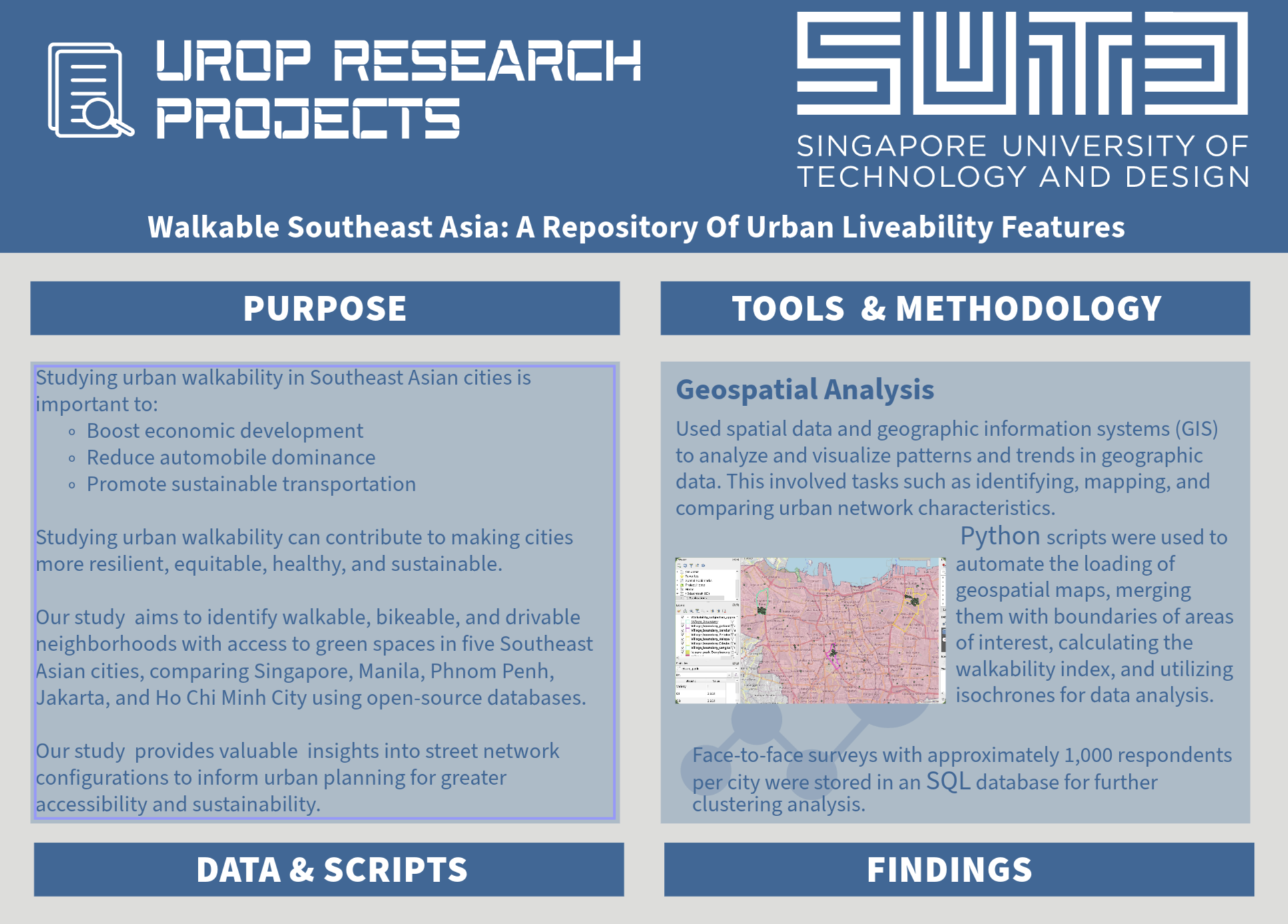
Python scripts automated geospatial map loading, merging with area boundaries, calculating indices, and utilizing isochrones for data analysis.
Spatial data and GIS were integral in identifying, mapping, and comparing urban network characteristics, providing valuable insights for informed decision-making.
For the full poster, you can view the PDF here.